The photos and the site that help a listing sell.
Scanline Aerials shoots real estate photography and builds the website for your listing, real interior shots, aerial photos from a certified drone pilot, and a site built just for that property, across New York, New Jersey, and Connecticut. Need a technical roof survey too? We coordinate that through our trusted drone survey partner, so it's still one point of contact for you.
Four ways we help a listing sell.
From the first photo to the finished site, coordinated by our team, with drone roof surveys flown through our trusted survey partner.

Real Estate Photography
Interior and aerial photography for sellers and agents, so every listing shows its best from the curb to the closet.

Website Design for Listings
A custom website built around your photography for a single listing, ready to share the moment it goes live.
See a sample listing website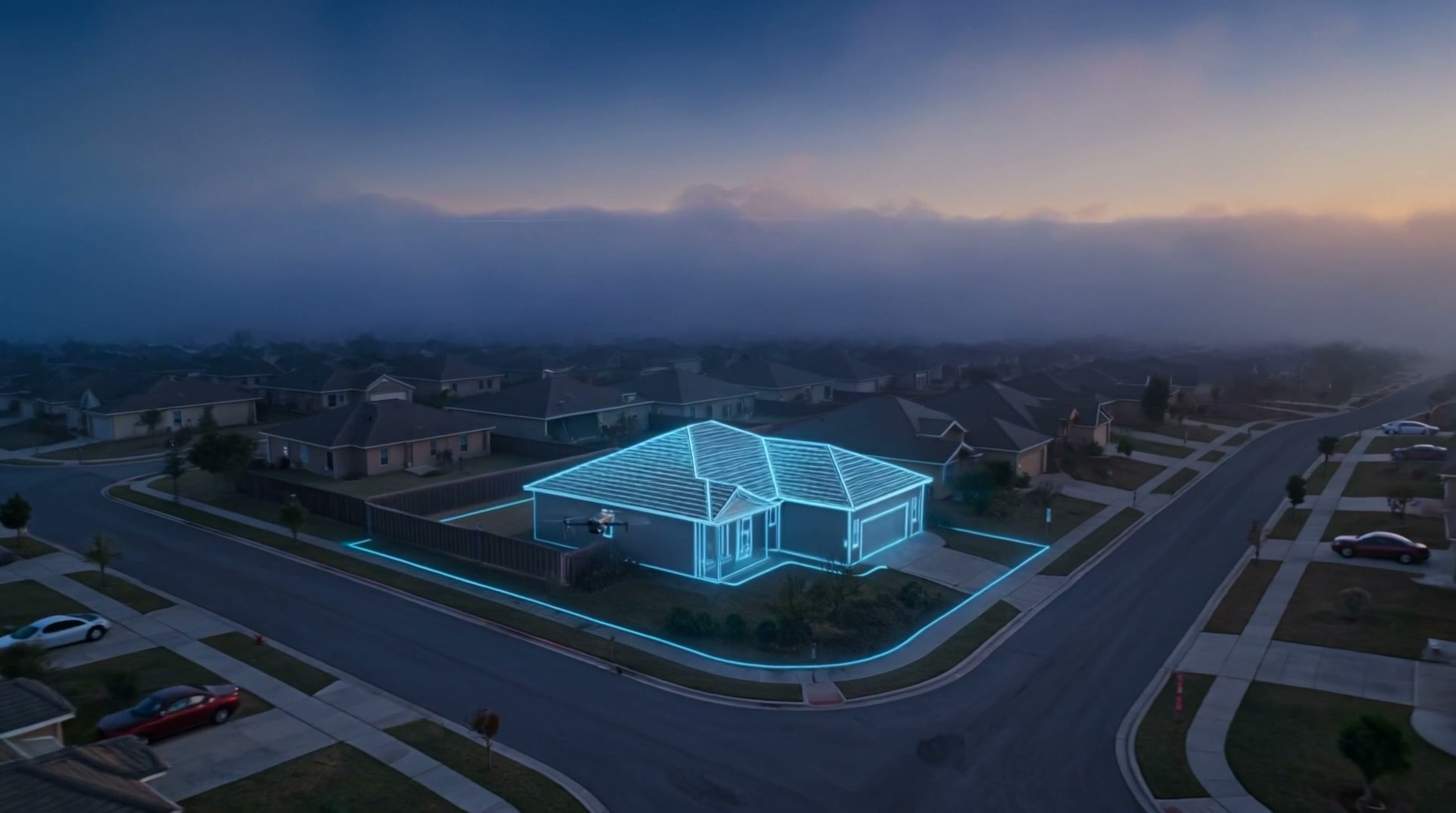
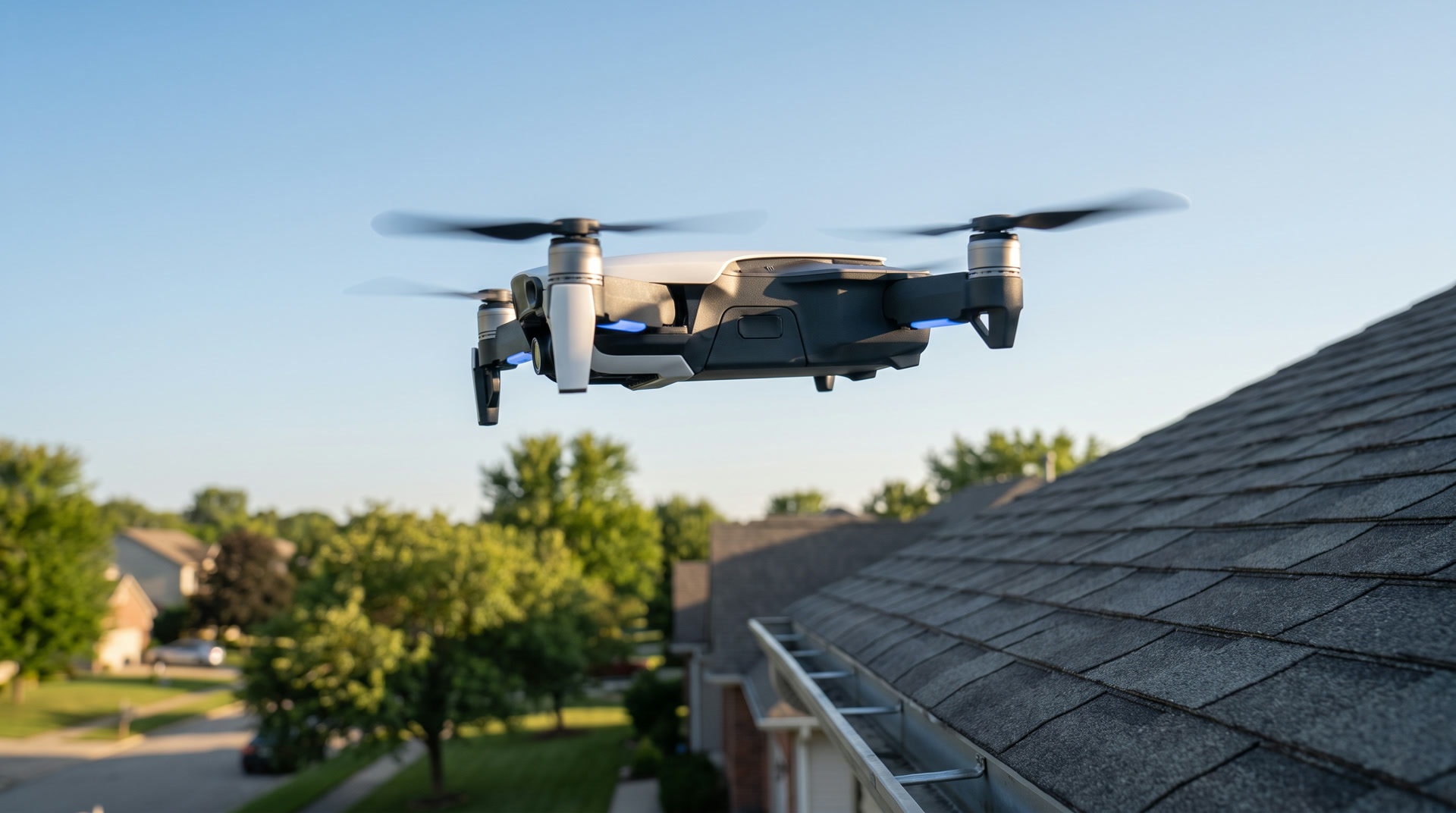
Drone Roof Surveys
A full exterior roof survey with high-resolution photos and video, coordinated through our trusted drone survey partner, for any homeowner, seller, adjuster, or contractor.
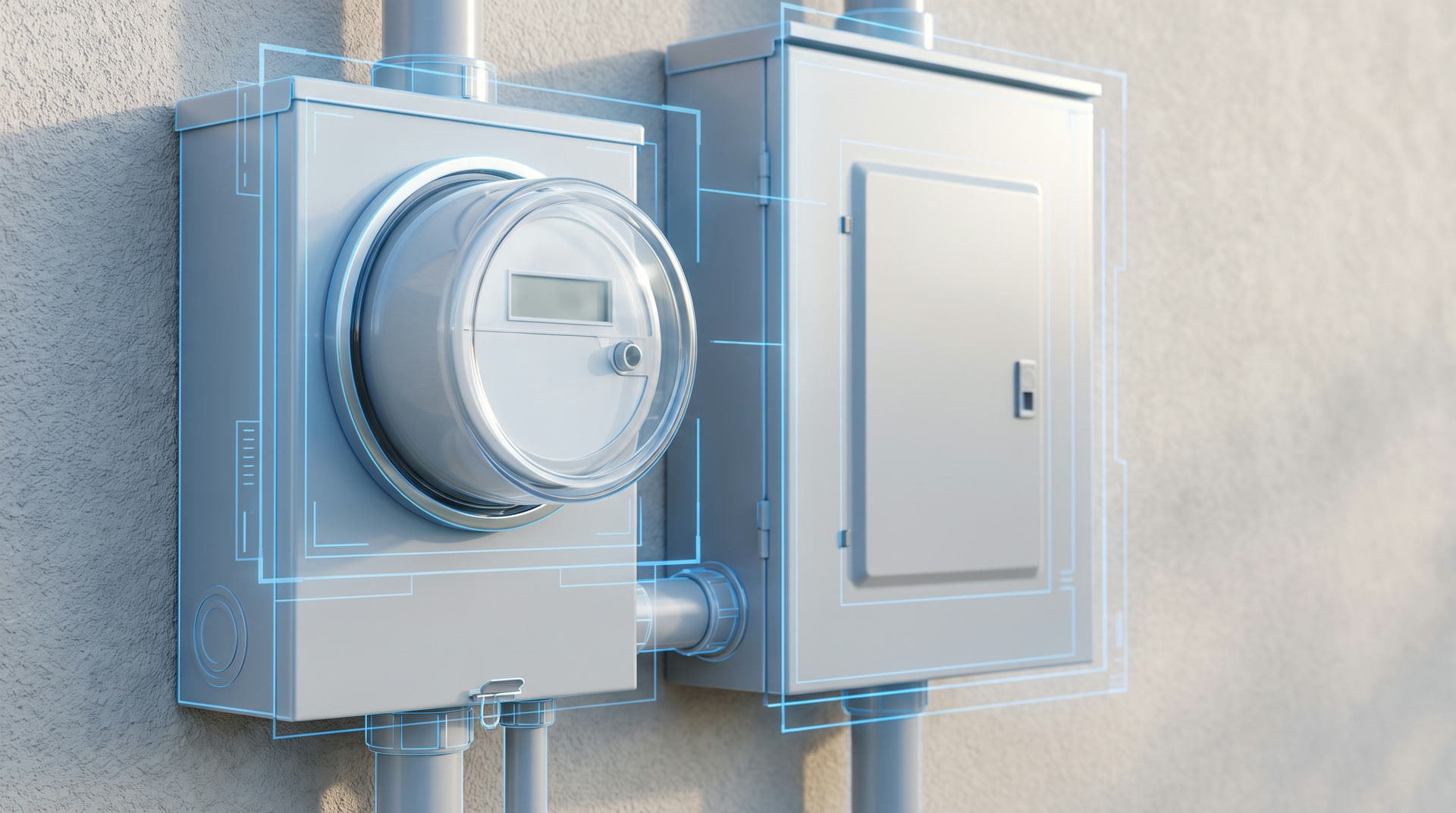
Property Documentation Surveys
On-site photo and drone documentation, appliances, meters, electrical systems, full property flyovers, and site walkthroughs, compiled for the surveyors, architects, roofers, and companies that contract us.
One team, six ways to use us.
Every project starts with a conversation. What you need depends on who you are.
Real Estate Developers
Photography and site documentation for a project, from ground-up to move-in ready.
Sellers & Agents
Get listing-ready photos and a custom website built before the property even hits the market.
Homeowners
Know your roof's real condition, surveyed through our drone partner, before small problems become expensive ones.
Home Inspectors
Aerial and interior documentation that backs up your inspection report, delivered the same day.
Insurance Adjusters
A timestamped, defensible survey, coordinated through our drone partner and ready in minutes.
Contractors
Fresh site photos and video flown today, not pulled from an old satellite pass.
From flight to report, fast.
Three steps, flown through our trusted drone survey partner, most finished before the sun goes down.
We fly
Our drone survey partner flies your property, capturing every angle of the roof.
We scan
Flight photos and video become a clear visual survey of the roof's condition.
You get the report
A clear, shareable report lands in your inbox, ready for any client or claim.
Hold to scan a roof.
This is what happens to your property, just faster. Press and hold, and watch the outline complete. Let go early, and it settles back down, just like a flight that gets interrupted and reflown.
0% complete
Flown today. Not guessed from last year.
Most roof reports come from a satellite pass that never saw this month's storm. Ours comes from a drone in your sky, this week.
Satellite tools show last year's roof. We show today's, storm damage included.
Tree cover and new construction don't stop a drone the way they stop a satellite pass.
One flight covers slopes and edges a photo from the ground never will.
New York, New Jersey, and Connecticut.
If your property sits in our coverage area, we can usually get a flight scheduled within days.
A look at what we've done.
A sample of past work by service. This gallery updates as new projects are added.
Pick the package that fits.
Starting prices to give you an idea of the investment. Every job gets scoped to the property before we start.
Real Estate Photography
Essential
Clean, edited photos ready for the listing.
- Up to 15 interior photos
- Edited & color-corrected
- Next-day delivery
Plus
More coverage, with aerial and twilight shots.
- Up to 30 interior photos
- Aerial exterior photos
- One twilight shot
Complete
Full coverage, ready for a premium listing.
- Everything in Plus
- Extended aerial coverage
- Same-day turnaround available
Website Design for Listings
Listing Site
A single-page website built around your listing's photography.
- Custom-built around your photos
- Property details & contact info
- Ready to share within a few days
Bundle with Photography
Photography and a listing website together, at a bundled rate.
- Any photography package, plus the listing site
- One point of contact for both
Drone Roof Surveys
Flown through our trusted drone survey partner.
Basic Scan
A single flight and a clear photo report.
- One flight over the property
- High-resolution roof photos & video, every angle
- PDF photo report
- 24 to 48 hour delivery
Standard Survey
Everything in Basic, plus a closer look at condition.
- Everything in Basic Scan
- Condition notes: shingles, flashing, gutters
- Extra angles & higher-resolution imagery
- 24 to 48 hour delivery
Premium Survey
The full picture, with thermal and priority scheduling.
- Everything in Standard Survey
- Thermal / infrared pass
- Priority same-week scheduling
- Annotated report with photo callouts
Property Documentation Surveys
Per-Report
One property, documented and delivered.
- On-site photos of appliances, meters & electrical
- High-res drone photos, video & orbit shots of the site
- Compiled for your company
Volume Retainer
Recurring monthly volume for surveyors, architects, roofers & other firms.
- Scoped to your property count & cadence
- Standardized delivery format
Straight answers.
Roof surveys are coordinated through our trusted drone survey partner. You still work with us as your one point of contact, and the technical flight is handled by a specialist.
Yes. FAA Part 107 certified, with business insurance in place. We're glad to bring documentation to any shoot or flight.
No. Every shoot or flight is scheduled directly with you or your point of contact. No surprise visits, ever.
Every photo and video comes from the actual flight over your property, not an automated guess from an old satellite image. You can review it before it's final.
Most reports are delivered within 24 to 48 hours of the flight.
We work around weather and reposition around obstructions, so tree cover does not leave gaps in the survey.
Yes. Reports are built to stand on their own: timestamped and clear enough to support a claim, a listing, or a bid.
Ready to make your next listing shine?
Tell us about your property and we'll get started, across New York, New Jersey, or Connecticut.